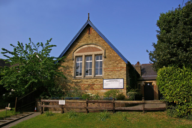
Image: London Road Evangelical Church - geograph.org.uk - 817457
London_Road_Evangelical_Church_-_geograph.org.uk_-_817457.jpg (640 × 426 pixels, file size: 107 KB, MIME type: image/jpeg)
Description: London Road Evangelical Church London Road is a grand name for a lane in the small village of Knockholt Pound, but historically, before the building in the early 19th century of what is now the A224 (A21 before the building of the M25), this was the main coaching route between London and Tunbridge Wells.
Title: London Road Evangelical Church - geograph.org.uk - 817457
Credit: From geograph.org.uk
Author: Ian Capper
Usage Terms: Creative Commons Attribution-Share Alike 2.0
License: CC BY-SA 2.0
License Link: https://creativecommons.org/licenses/by-sa/2.0
Attribution Required?: Yes
Image usage
The following page links to this image:

All content from Kiddle encyclopedia articles (including the article images and facts) can be freely used under Attribution-ShareAlike license, unless stated otherwise.

