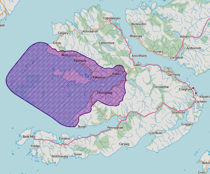
Image: Loch na Keal NSA

Size of this preview: 725 × 600 pixels. Other resolutions: 290 × 240 pixels | 841 × 696 pixels.
Original image (841 × 696 pixels, file size: 664 KB, MIME type: image/png)
Description: A map of the extent of the Loch na Keal National Scenic Area on the Isle of Mull, Scotland.
Title: Loch na Keal NSA
Credit: https://data.gov.uk/dataset/8d9d285a-985d-4524-90a0-3238bca9f8f8/national-scenic-areas
Author: Scottish Government
Usage Terms: Open Government License 3
License: OGL 3
License Link: http://www.nationalarchives.gov.uk/doc/open-government-licence/version/3
Attribution Required?: Yes
Image usage
The following page links to this image:

All content from Kiddle encyclopedia articles (including the article images and facts) can be freely used under Attribution-ShareAlike license, unless stated otherwise.
