
Image: Location of Kuchar within Xinjiang (China)
Size of this preview: 789 × 600 pixels. Other resolutions: 316 × 240 pixels | 960 × 730 pixels.
Original image (960 × 730 pixels, file size: 163 KB, MIME type: image/png)
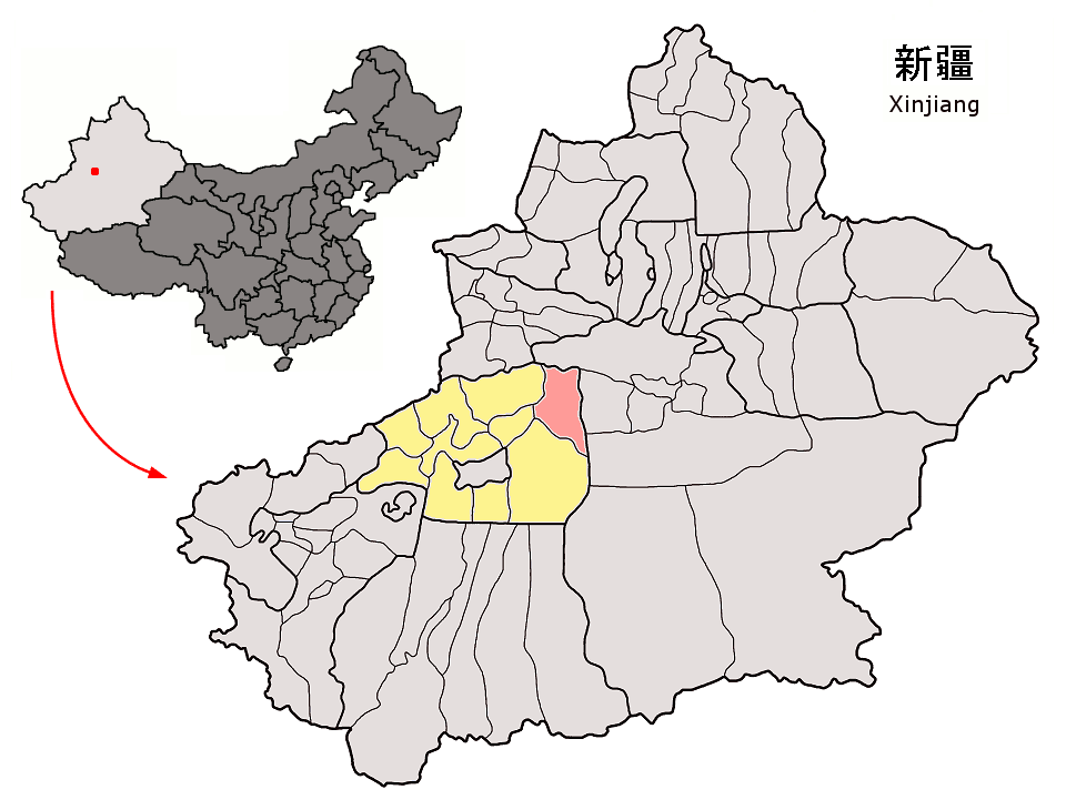
Description: Location of Kuchar County (pink) and Aksu Prefecture (yellow) within Xinjiang autonomous region of China Map drawn in september 2007 using various sources, mainly : Xinjiang Uygur autonomous region administrative regions GIS data: 1:1M, County level, 1990 Xinjiang Counties map from www.hua2.com
Title: Location of Kuchar within Xinjiang (China)
Credit: Own work
Author: Croquant
Usage Terms: Creative Commons Attribution 3.0
License: CC BY 3.0
License Link: https://creativecommons.org/licenses/by/3.0
Attribution Required?: Yes
Image usage
The following page links to this image:

All content from Kiddle encyclopedia articles (including the article images and facts) can be freely used under Attribution-ShareAlike license, unless stated otherwise.
.png)