
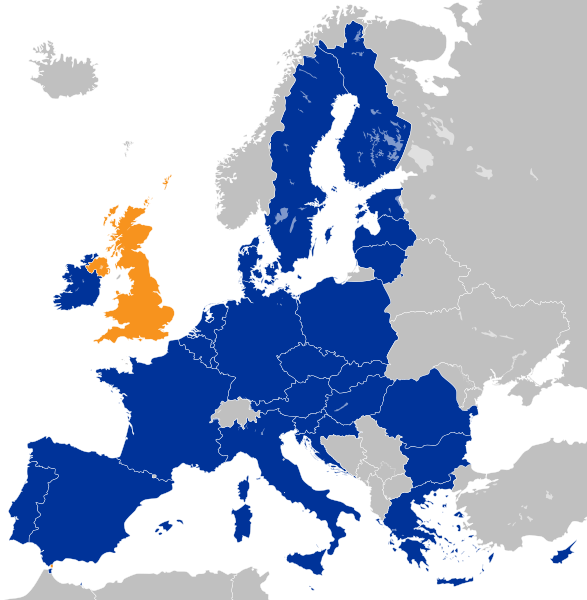
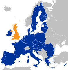
Image: Location map of the United Kingdom and the European Union

Size of this PNG preview of this SVG file: 587 × 600 pixels. Other resolution: 235 × 240 pixels.
Original image (SVG file, nominally 593 × 606 pixels, file size: 708 KB)
Description: Location of the United Kingdom and the European Union United Kingdom EU member states Other countries
Title: Location map of the United Kingdom and the European Union
Credit: This file was derived from: EU Single Market.svg:
Author: Furfur
Permission: Public domainPublic domainfalsefalse This map is ineligible for copyright and therefore in the public domain, because it consists entirely of information that is common property and contains no original authorship. For more information, see Commons:Threshold of originality § Maps. English | Español | Galego | Română | slovenščina | العربية | 简体中文 | 繁體中文 | +/−
Usage Terms: Public domain
License: Public domain
Attribution Required?: No
Image usage
The following page links to this image:

All content from Kiddle encyclopedia articles (including the article images and facts) can be freely used under Attribution-ShareAlike license, unless stated otherwise.