
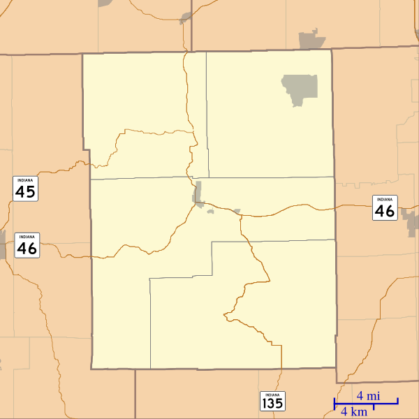
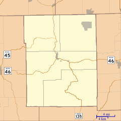
Image: Location map of Brown County, Indiana

Size of this PNG preview of this SVG file: 600 × 600 pixels. Other resolution: 240 × 240 pixels.
Original image (SVG file, nominally 768 × 768 pixels, file size: 147 KB)
Description: This is a map of Brown County, Indiana, USA which includes incorporated settlements, township borders, and major highways.
Title: Location map of Brown County, Indiana
Credit: My own work, using custom-written MapScript applications with United States Census Bureau data
Author: Omnedon
Usage Terms: Public domain
License: Public domain
Attribution Required?: No
Image usage
The following 24 pages link to this image:
- Beanblossom, Indiana
- Becks Grove, Indiana
- Belmont, Indiana
- Camp Roberts, Indiana
- Christiansburg, Indiana
- Clarksdale, Indiana
- Cornelius, Indiana
- Elkinsville, Indiana
- Fruitdale, Indiana
- Gatesville, Indiana
- Gnaw Bone, Indiana
- Helmsburg, Indiana
- Lanam, Indiana
- Mount Liberty, Indiana
- Needmore, Brown County, Indiana
- Pikes Peak, Indiana
- Point Idalawn, Indiana
- Spearsville, Indiana
- Stone Head, Indiana
- Story, Indiana
- T. C. Steele State Historic Site
- Taggart, Indiana
- Trevlac, Indiana
- Waycross, Indiana

All content from Kiddle encyclopedia articles (including the article images and facts) can be freely used under Attribution-ShareAlike license, unless stated otherwise.