
Image: Location map Ireland Cork Central
Size of this preview: 769 × 599 pixels. Other resolutions: 308 × 240 pixels | 2,067 × 1,611 pixels.
Original image (2,067 × 1,611 pixels, file size: 1.12 MB, MIME type: image/png)
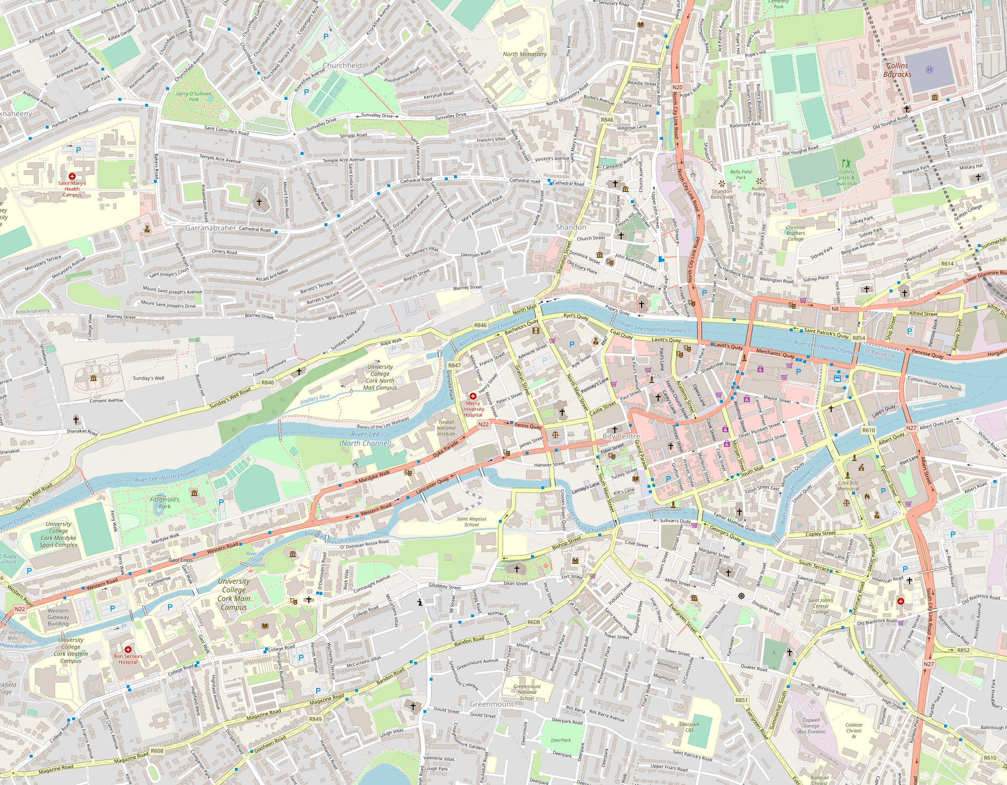
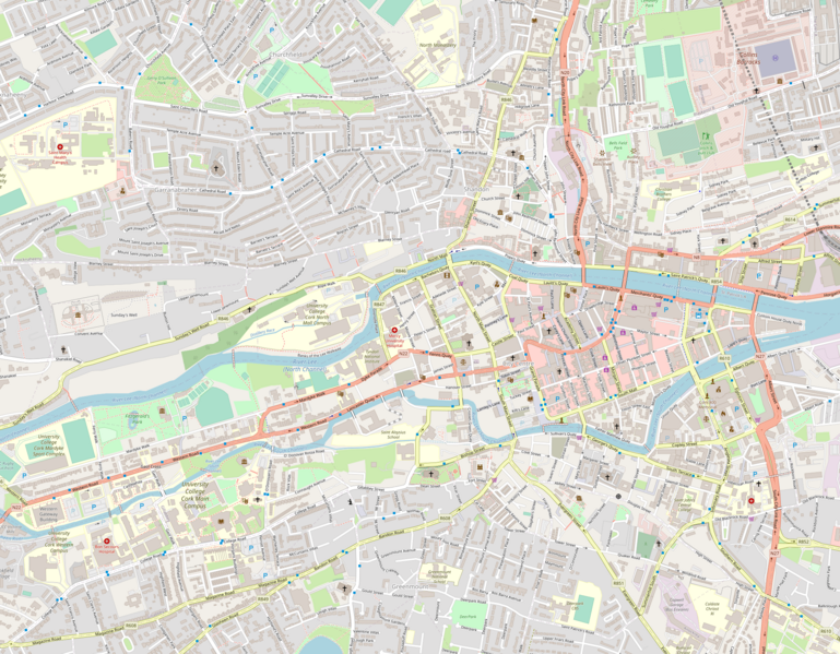
Description: Map of Cork Central Geographical Limits: N: 51.9096° S: 51.8885° W: -8.5031° E: -8.4591°
Title: Location map Ireland Cork Central
Credit: http://www.wikimapia.org
Author: Wikimapia
Usage Terms: Creative Commons Attribution-Share Alike 4.0
License: CC BY-SA 4.0
License Link: https://creativecommons.org/licenses/by-sa/4.0
Attribution Required?: Yes
Image usage
The following 5 pages link to this image:

All content from Kiddle encyclopedia articles (including the article images and facts) can be freely used under Attribution-ShareAlike license, unless stated otherwise.