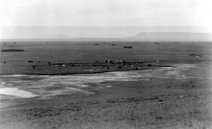
Image: Little Laramie River 1905
Little_Laramie_River_1905.jpg (700 × 427 pixels, file size: 185 KB, MIME type: image/jpeg)
Description: Laramie Plains looking southwest from ridge 2 miles north of Mandel, Little Laramie river in the foreground, Sheep Mountain to left of center. Albany County. 1905. Figure 4 in U.S. Geological Survey. Folio 173. 1910. Folio-0017 Digital File:dnh01135 ID. Darton, N.H. 1135 Original found at Original found at [1] using keywords "Little," "Laramie]]and "River."
Title: Little Laramie River 1905
Credit: USGS
Author: USGS
Usage Terms: Public domain
License: Public domain
Attribution Required?: No
Image usage
The following page links to this image:

All content from Kiddle encyclopedia articles (including the article images and facts) can be freely used under Attribution-ShareAlike license, unless stated otherwise.

