Image: Lier 1808

Size of this preview: 726 × 599 pixels. Other resolutions: 291 × 240 pixels | 1,019 × 841 pixels.
Original image (1,019 × 841 pixels, file size: 282 KB, MIME type: image/jpeg)
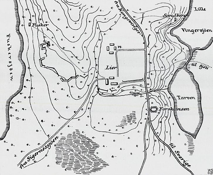
Description: Map over the Battle of Lier, 1808; the Norwegian position stretched around the heights, between the Føsker, Tarven and Vainger lakes, with the Lier homesteads in the centre. The Norwegian redoubt is seen left (west) of the Tarven, on the right side of the main road; the Swedes arrived on that road, from the south-east.
Title: Lier 1808
Credit: Angell, Henrik: Syv-Aars-Krigen for 17. Mai 1807–1814. Kristiania: H. Aschehoug & Co (1914). Page 86.
Author: Henrik Angell
Usage Terms: Public domain
License: Public domain
Attribution Required?: No
Image usage
The following page links to this image:

All content from Kiddle encyclopedia articles (including the article images and facts) can be freely used under Attribution-ShareAlike license, unless stated otherwise.
