
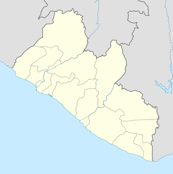
Image: Liberia location map

Size of this PNG preview of this SVG file: 594 × 600 pixels. Other resolution: 238 × 240 pixels.
Original image (SVG file, nominally 1,000 × 1,010 pixels, file size: 245 KB)
Description: Location map of Liberia Equirectangular projection. Strechted by 101.0%. Geographic limits of the map: N: 8.8° N S: 4.0° N W: -11.8° E E: -7.0° E Made with Natural Earth. Free vector and raster map data @ naturalearthdata.com.
Title: Liberia location map
Credit: Own work
Author: Uwe Dedering
Usage Terms: Creative Commons Attribution-Share Alike 3.0
License: CC BY-SA 3.0
License Link: https://creativecommons.org/licenses/by-sa/3.0
Attribution Required?: Yes
Image usage
The following 2 pages link to this image:

All content from Kiddle encyclopedia articles (including the article images and facts) can be freely used under Attribution-ShareAlike license, unless stated otherwise.