
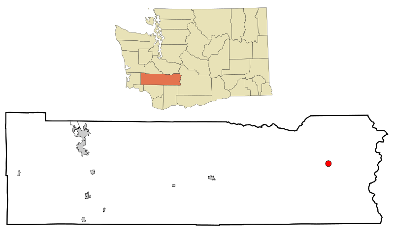
Image: Lewis County Washington Incorporated and Unincorporated areas Packwood Highlighted

Size of this PNG preview of this SVG file: 800 × 480 pixels. Other resolution: 320 × 192 pixels.
Original image (SVG file, nominally 1,250 × 750 pixels, file size: 107 KB)
Description: Map of Packwood, WA in Lewis County and Lewis County in Washington state.
Title: Lewis County Washington Incorporated and Unincorporated areas Packwood Highlighted
Credit: adapted from Creative Commons Attribution-Share Alike 3.0 Unported image by User:Arkyan, File:Lewis_County_Washington_Incorporated_and_Unincorporated_areas_Centralia_Highlighted.svg .
Author: . The original uploader was Vanisaac at English Wikipedia
Usage Terms: Creative Commons Attribution-Share Alike 3.0
License: CC BY-SA 3.0
License Link: http://creativecommons.org/licenses/by-sa/3.0
Attribution Required?: Yes
Image usage
The following page links to this image:

All content from Kiddle encyclopedia articles (including the article images and facts) can be freely used under Attribution-ShareAlike license, unless stated otherwise.