
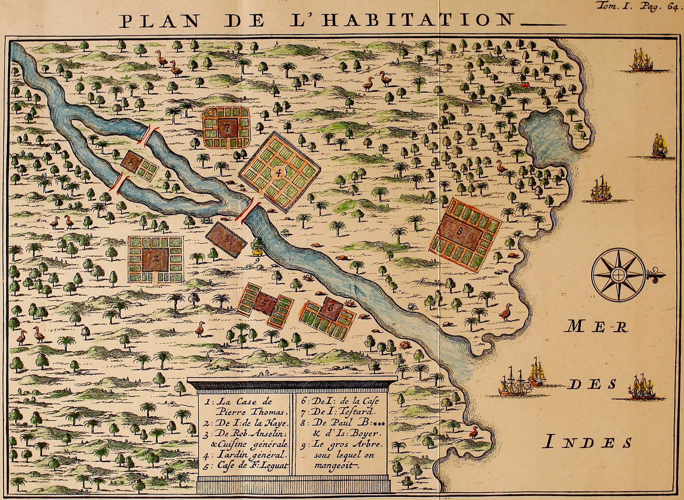
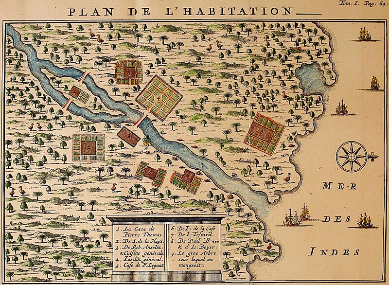
Image: Leguat Settlement
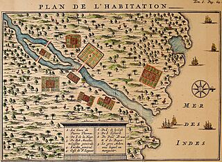
Size of this preview: 800 × 586 pixels. Other resolutions: 320 × 234 pixels | 2,325 × 1,702 pixels.
Original image (2,325 × 1,702 pixels, file size: 3.81 MB, MIME type: image/jpeg)
Description: François Leguat's map of his settlement on Rodrigues. Rodrigues Solitaires can be seen sprinkled all over the map.
Title: Leguat Settlement
Credit: http://www.crommelin.org/history/Ancestors/JeanTestart/JeanTestart.htm Scanned from: Leguat, François (1708) Voyage et avantures de François Leguat & de ses compagnons en deux isles desertes des Indes Orientales. (Volume 1) Amsterdam: J.-L. de Lorme, p. 64.
Author: François Leguat
Usage Terms: Public domain
License: Public domain
Attribution Required?: No
Image usage
The following 5 pages link to this image:

All content from Kiddle encyclopedia articles (including the article images and facts) can be freely used under Attribution-ShareAlike license, unless stated otherwise.