
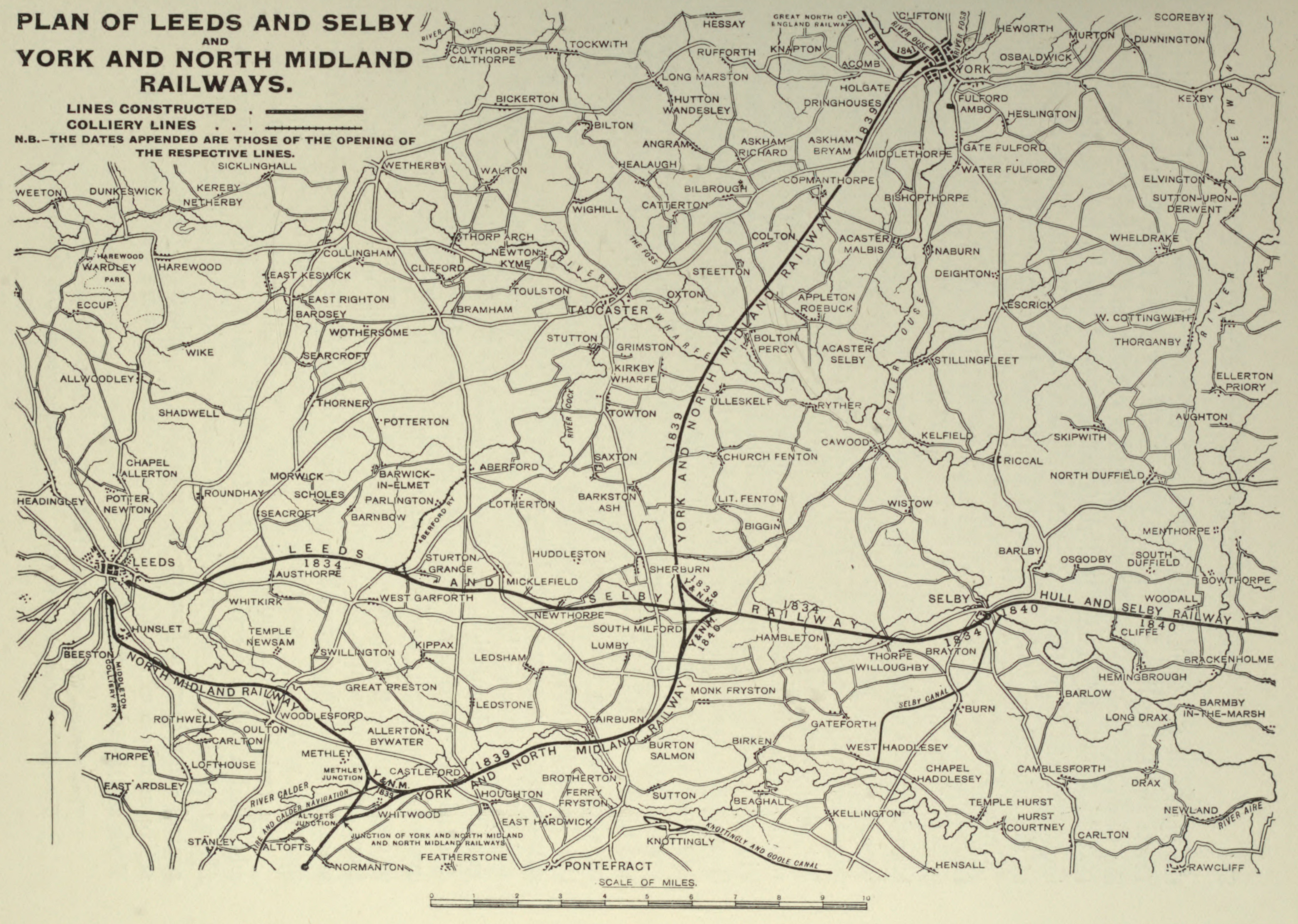
Image: Leeds and Selby, York and North Midland railway maps
Size of this preview: 800 × 569 pixels. Other resolutions: 320 × 228 pixels | 3,113 × 2,216 pixels.
Original image (3,113 × 2,216 pixels, file size: 2.5 MB, MIME type: image/jpeg)
Description: Leeds and Selby, York and North Midland railway maps
Title: Leeds and Selby, York and North Midland railway maps
Credit: Title: The North Eastern Railway; its rise and development Year:1915 Author: Tomlinson, William Weaver, 1858-1916 https://archive.org/details/northeasternrail00tomlrich
Author: unknown/ uncertain
Usage Terms: Public domain
License: Public domain
Attribution Required?: No
Image usage
The following page links to this image:

All content from Kiddle encyclopedia articles (including the article images and facts) can be freely used under Attribution-ShareAlike license, unless stated otherwise.