
Image: Larus fuliginosus map

Size of this PNG preview of this SVG file: 800 × 578 pixels. Other resolution: 320 × 231 pixels.
Original image (SVG file, nominally 6,378 × 4,606 pixels, file size: 172 KB)
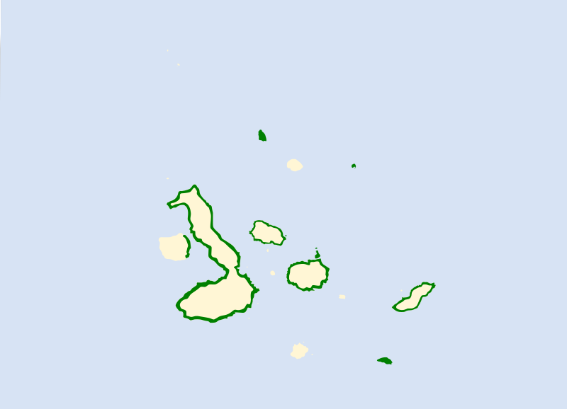
Description: Range map of Lava Gull (Larus fuliginosus)
Title: Larus fuliginosus map
Credit: Adapted from: BirdLife International. 2018. Larus fuliginosus. The IUCN Red List of Threatened Species 2018: e.T22694452A132552501. https://dx.doi.org/10.2305/IUCN.UK.2018-2.RLTS.T22694452A132552501.en. Accessed on 12 December 2021.
Author: Cephas
Usage Terms: Creative Commons Attribution-Share Alike 4.0
License: CC BY-SA 4.0
License Link: https://creativecommons.org/licenses/by-sa/4.0
Attribution Required?: Yes
Image usage
The following page links to this image:

All content from Kiddle encyclopedia articles (including the article images and facts) can be freely used under Attribution-ShareAlike license, unless stated otherwise.