
Image: Large map of Hokkaido within Japan
Size of this preview: 775 × 600 pixels. Other resolutions: 310 × 240 pixels | 3,100 × 2,400 pixels.
Original image (3,100 × 2,400 pixels, file size: 1.41 MB, MIME type: image/png)
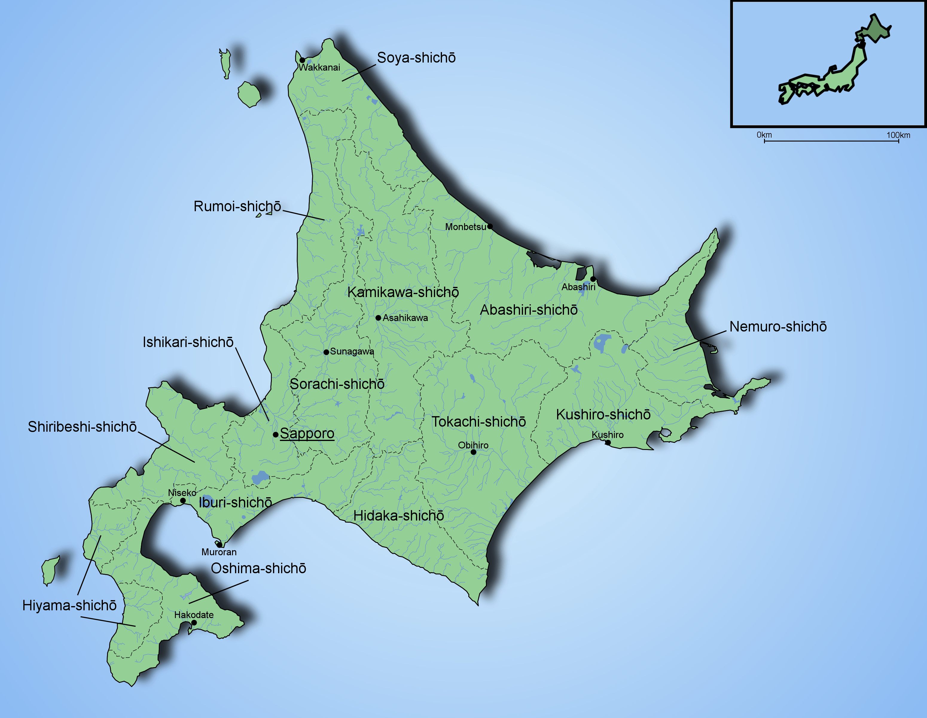
Description: The image is created with Inkscape and Paint Shop Pro by Fi:Ningyou. Based on several maps found from internet and mapbooks. The Map is showing rivers and lakes of Hokkaido, the biggest cities and the borders of subprefectures.
Title: Large map of Hokkaido within Japan
Credit: No machine-readable source provided. Own work assumed (based on copyright claims).
Author: No machine-readable author provided. Ningyou assumed (based on copyright claims).
Usage Terms: Public domain
License: Public domain
Attribution Required?: No
Image usage
The following 2 pages link to this image:

All content from Kiddle encyclopedia articles (including the article images and facts) can be freely used under Attribution-ShareAlike license, unless stated otherwise.