
Image: LaTrobe Valley CFPS
No higher resolution available.
LaTrobe_Valley_CFPS.png (590 × 330 pixels, file size: 36 KB, MIME type: image/png)
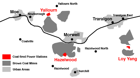
Description: A map of the major towns and coal-fired power stations in the LaTrobe Valley, Gippsland, Victoria, Australia. Map made by myself, June 2009.
Title: LaTrobe Valley CFPS
Credit: Transferred from en.wikipedia to Commons by Teratornis using CommonsHelper.
Author: Nick carson at English Wikipedia
Usage Terms: Public domain
License: Public domain
Attribution Required?: No
Image usage
The following page links to this image:

All content from Kiddle encyclopedia articles (including the article images and facts) can be freely used under Attribution-ShareAlike license, unless stated otherwise.