
Image: Kurarivermap
Size of this preview: 800 × 467 pixels. Other resolutions: 320 × 187 pixels | 1,484 × 866 pixels.
Original image (1,484 × 866 pixels, file size: 1.57 MB, MIME type: image/jpeg)
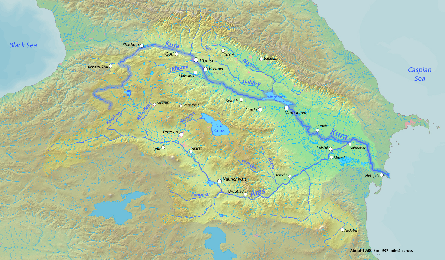
Description: Map of the Kura River, whose watershed drains much of the Caucasus region in Azerbaijan, Georgia, Armenia, Turkey and Iran into the Caspian Sea
Title: Kurarivermap
Credit: Background and river course data from http://www2.demis.nl/mapserver/mapper.asp
Author: Shannon
Usage Terms: GNU Free Documentation License
License: GFDL
License Link: http://www.gnu.org/copyleft/fdl.html
Attribution Required?: Yes
Image usage
The following 2 pages link to this image:

All content from Kiddle encyclopedia articles (including the article images and facts) can be freely used under Attribution-ShareAlike license, unless stated otherwise.