
Image: Kingdom of Hungary counties

Size of this PNG preview of this SVG file: 800 × 529 pixels. Other resolution: 320 × 212 pixels.
Original image (SVG file, nominally 8,277 × 5,472 pixels, file size: 589 KB)
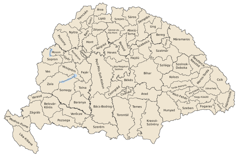
Description: Map of counties of Kingdom of Hungary (Hungary proper and Croatia & Slavonia), 1886-1918
Title: Kingdom of Hungary counties
Credit: Own work
Author: User:IMeowbot
Usage Terms: Public domain
License: Public domain
Attribution Required?: No
Image usage
The following page links to this image:

All content from Kiddle encyclopedia articles (including the article images and facts) can be freely used under Attribution-ShareAlike license, unless stated otherwise.