
Image: Kianida Island or Cianeis Insula
Size of this preview: 800 × 536 pixels. Other resolutions: 320 × 214 pixels | 951 × 637 pixels.
Original image (951 × 637 pixels, file size: 1.74 MB, MIME type: image/png)
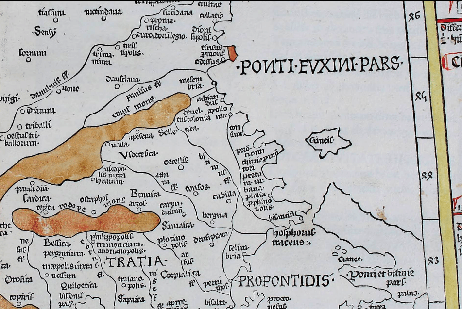
Description: A large island off the en:Black Sea coast of en:Thrace in the present Bulgaria-Turkey border area. Depicted on the 1467 map Nona Europae Tabula by en:Nicolaus Germanus based on en:Claudius Ptolemy's Geography.[1]
Title: Kianida Island or Cianeis Insula
Credit: https://archive.org/details/cosmographia00ptol/page/n195
Author:
Usage Terms: Public domain
License: Public domain
Attribution Required?: No
Image usage
The following page links to this image:

All content from Kiddle encyclopedia articles (including the article images and facts) can be freely used under Attribution-ShareAlike license, unless stated otherwise.