
Image: Khmers rouges map
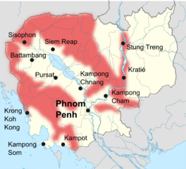
Size of this preview: 660 × 599 pixels. Other resolutions: 264 × 240 pixels | 881 × 800 pixels.
Original image (881 × 800 pixels, file size: 135 KB, MIME type: image/png)
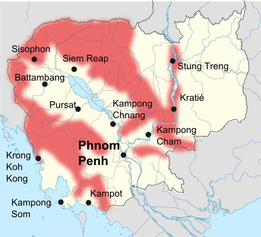
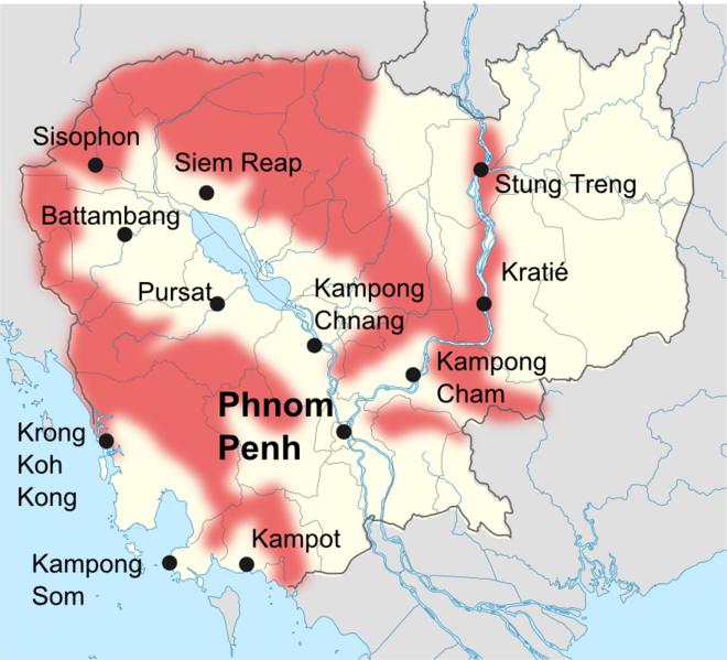
Description: map of khmers rouges avtivities (1989-1990)
Title: Khmers rouges map
Credit: self made using File:Cambodia location map.svg by NordNordWest
Author: toony
Usage Terms: Creative Commons Attribution-Share Alike 4.0
License: CC BY-SA 4.0
License Link: https://creativecommons.org/licenses/by-sa/4.0
Attribution Required?: Yes
Image usage
The following page links to this image:

All content from Kiddle encyclopedia articles (including the article images and facts) can be freely used under Attribution-ShareAlike license, unless stated otherwise.