
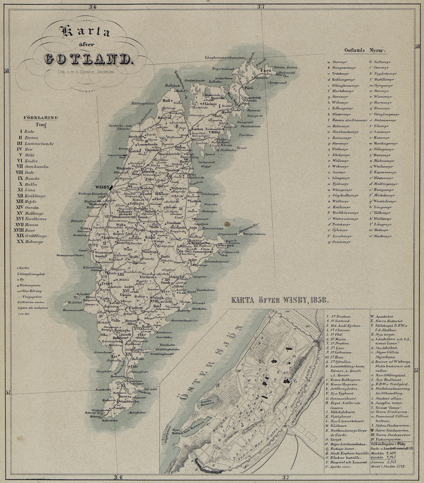
Image: Karta öfver Gotland och Wisby – P A Säve 1858
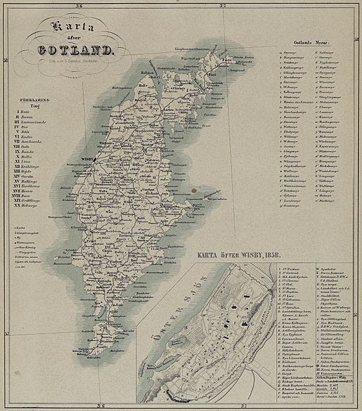
Size of this preview: 527 × 599 pixels. Other resolutions: 211 × 240 pixels | 1,406 × 1,599 pixels.
Original image (1,406 × 1,599 pixels, file size: 2.8 MB, MIME type: image/jpeg)
Description: Map by: Pehr Arvid Säve from the book & panel work "Gotland & Wisby in Tables" from C.E.1858
Title: Karta öfver Gotland och Wisby – P A Säve 1858
Credit: Gotland och Wisby i taflor 1858
Author: Pehr Arvid Säve
Usage Terms: Public domain
License: Public domain
Attribution Required?: No
Image usage
The following page links to this image:

All content from Kiddle encyclopedia articles (including the article images and facts) can be freely used under Attribution-ShareAlike license, unless stated otherwise.