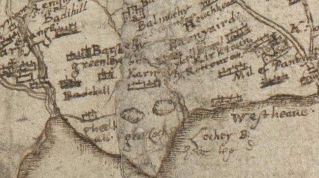
Image: KarnoustyPont
KarnoustyPont.jpg (648 × 363 pixels, file size: 63 KB, MIME type: image/jpeg)
Description: Earliest cartographic representation of Carnoustie, 'Karnousty', Timothy Pont's map of Lower Angus and Perthshire east of the Tay, Pont 26, c1583-96
Title: KarnoustyPont
Credit: National Library of Scotland
Author: Timothy Pont
Permission: Reproduced by Permission of the Trustees of the National Library of Scotland
Usage Terms: Attribution-ShareAlike 3.0
License: Cc-by-sa-3.0
License Link: https://creativecommons.org/licenses/by-sa/3.0/
Image usage
The following page links to this image:

All content from Kiddle encyclopedia articles (including the article images and facts) can be freely used under Attribution-ShareAlike license, unless stated otherwise.

