Image: Jomann Imperium Periscum

Size of this preview: 703 × 600 pixels. Other resolutions: 281 × 240 pixels | 1,992 × 1,700 pixels.
Original image (1,992 × 1,700 pixels, file size: 2.18 MB, MIME type: image/jpeg)
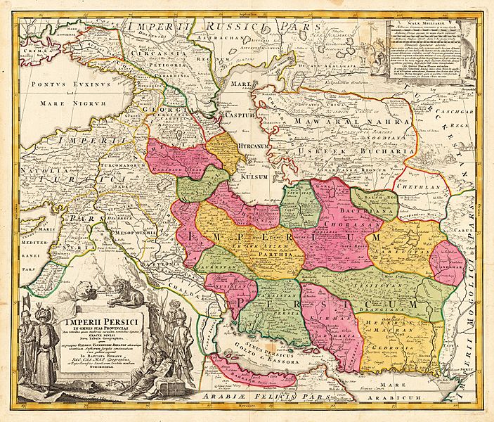
Description: Map of Persia Copperplate print on paper, colorized, 53 × 60.7 cm Detailed map of the Persian empire, extending from the Black Sea, Khasikstan and Turkistan in the North to the Red Sea, Persian Gulf, Euphrates and the Mediterranean in the South, showing a part of Cyprus. Decorative map, showing cities, mountains, rivers, lakes, roads, etc. Large decorative cartouche inthe lower left corner and smaller cartouche in the right upper corner
Title: Jomann Imperium Periscum
Credit: www.lot-tissimo.net
Author: Johann Homann
Usage Terms: Public domain
License: Public domain
Attribution Required?: No
Image usage
The following page links to this image:

All content from Kiddle encyclopedia articles (including the article images and facts) can be freely used under Attribution-ShareAlike license, unless stated otherwise.
