
Image: Java and Australia WDL1027
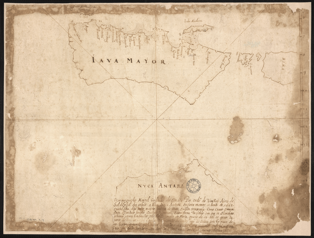
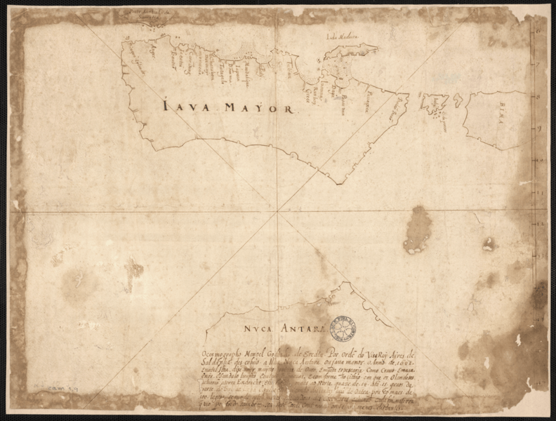
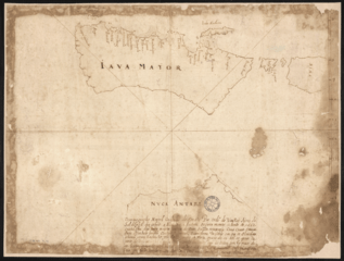
Description: This manuscript map of Java and the tip of northern Australia is a copy of an earlier work by the Malay-Portuguese cartographer Emanuel Godinho de Eredia (1563-1623). In the 16th century, Portugal sent several expeditions to explore the islands south of Malaysia; it is possible that they gained some knowledge about the geography of Australia from these missions. Some scholars have speculated that the Malays had a knowledge of Australia, which Eredia somehow absorbed. The first documented European sighting of Australia was by the Dutch navigator Willem Janszoon, in 1606. Discovery and exploration; Manuscript maps
Title: Java and Australia
Credit: http://dl.wdl.org/1027.png Gallery: http://www.wdl.org/en/item/1027/
Author: Eredia, Manuel Godinho de (1563-1623)
Usage Terms: Public domain
License: Public domain
Attribution Required?: No
Image usage
The following page links to this image:
