
Image: Jacksonville Urban Core
Size of this preview: 722 × 600 pixels. Other resolutions: 289 × 240 pixels | 927 × 770 pixels.
Original image (927 × 770 pixels, file size: 515 KB, MIME type: image/png)
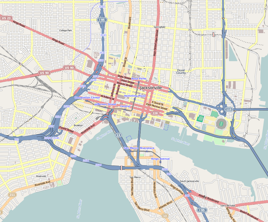
Description: Central Jacksonville Geographic limits of the map: N: 30.3518° S: 30.3018° W: -81.6949° E: -81.6252°
Title: Jacksonville Urban Core
Credit: http://www.openstreetmap.org
Author: OpenStreetMap contributors
Permission: Cartography is licensed as CC-BY-SA (http://www.openstreetmap.org/copyright)
Usage Terms: Creative Commons Attribution-Share Alike 4.0
License: CC BY-SA 4.0
License Link: https://creativecommons.org/licenses/by-sa/4.0
Attribution Required?: Yes
Image usage
The following 9 pages link to this image:

All content from Kiddle encyclopedia articles (including the article images and facts) can be freely used under Attribution-ShareAlike license, unless stated otherwise.