
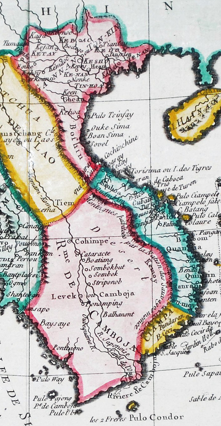
Image: Indochina map (1770s)
Size of this preview: 311 × 598 pixels. Other resolutions: 125 × 240 pixels | 706 × 1,358 pixels.
Original image (706 × 1,358 pixels, file size: 532 KB, MIME type: image/jpeg)
Description: Map of Indochina circa 1770s, published in Paris, France in 1774
Title: Indochina map (1770s)
Credit: Brion de la Tour, L. / Carte de la Presque' Isle de l' Inde.
Author: Brion de la Tour, L.
Usage Terms: Public domain
License: Public domain
Attribution Required?: No
Image usage
The following page links to this image:

All content from Kiddle encyclopedia articles (including the article images and facts) can be freely used under Attribution-ShareAlike license, unless stated otherwise.
.jpg)