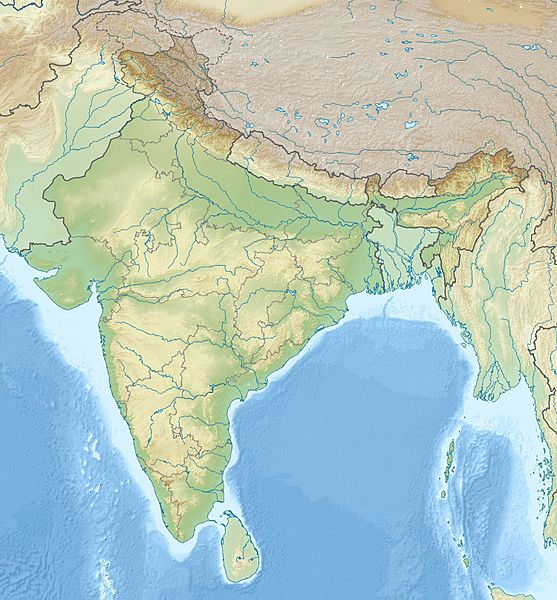
Image: India relief location map

Size of this preview: 557 × 600 pixels. Other resolutions: 223 × 240 pixels | 1,500 × 1,615 pixels.
Original image (1,500 × 1,615 pixels, file size: 1.93 MB, MIME type: image/jpeg)
Description: Location map of India. Equirectangular projection. Stretched by 106.0%. Geographic limits of the map: N: 37.5° N S: 5.0° N W: 67.0° E E: 99.0° E Made with Natural Earth. Free vector and raster map data @ naturalearthdata.com.
Title: India relief location map
Credit: Own work
Author: Uwe Dedering
Usage Terms: Creative Commons Attribution-Share Alike 3.0
License: CC BY-SA 3.0
License Link: http://creativecommons.org/licenses/by-sa/3.0
Attribution Required?: Yes
Image usage
The following 32 pages link to this image:
- 2001 Gujarat earthquake
- Adichanallur
- Agra
- Air India Express Flight 812
- Amritsar
- Bhopal
- Bijbehara
- Chumar
- Dehradun
- Dholavira
- Gasherbrum I
- Girnar
- Haridwar
- Jaipur
- Kolhapur
- Mathura
- Nainital
- Nalanda mahavihara
- Nellore
- Pataliputra
- Pattadakal
- Rakhigarhi
- Rohtak
- Roopkund
- Sarnath
- Shipton–Tilman Nanda Devi expeditions
- Surat
- Tso Moriri
- Udhampur
- Vaishali (ancient city)
- Vidisha
- Template:Location map India

All content from Kiddle encyclopedia articles (including the article images and facts) can be freely used under Attribution-ShareAlike license, unless stated otherwise.
