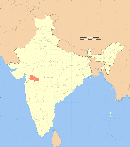
Image: India Khandesh locator map

Description: Locator map of the region of Khandesh, India with district boundaries.
Title: Khandesh locator map
Credit: Own work International Borders: University of Texas map library - India Political map 2001 Disputed Borders: University of Texas map library - China-India Borders - Eastern Sector 1988 & Western Sector 1988 - Kashmir Region 2004 - Kashmir Maps. State and District boundaries: Census of India - 2001 Census State Maps - Survey of India Maps. Other sources: US Army Map Service, Survey of India Map Explorer, Columbia University
Author: w:user:Planemad
Permission: I, the copyright holder of this work, hereby publish it under the following license:
Usage Terms: Creative Commons Attribution-Share Alike 3.0
License: CC BY-SA 3.0
License Link: https://creativecommons.org/licenses/by-sa/3.0
Attribution Required?: Yes
Image usage
The following page links to this image:

