
Image: IndiaPolitical1893ConstablesHandAtlas
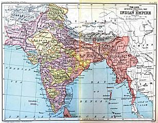
Size of this preview: 770 × 600 pixels. Other resolutions: 308 × 240 pixels | 1,318 × 1,027 pixels.
Original image (1,318 × 1,027 pixels, file size: 341 KB, MIME type: image/jpeg)
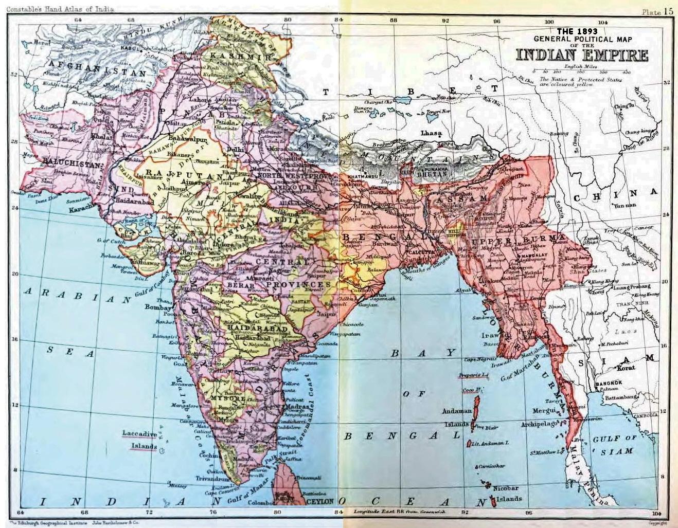
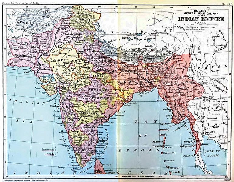
Description: Map, "Political Map of the Indian Empire, 1893" from Constable's Hand Atlas of India, London: Archibald Constable and Sons, 1893. Uploaded by Fowler&fowler«Talk» 23:20, 13 February 2009 (UTC)
Title: IndiaPolitical1893ConstablesHandAtlas
Credit: http://books.google.com/books?id=-kAuAAAAYAAJ
Author: John Bartholomew and Co., Edinburgh
Usage Terms: Public domain in the United States
License: PD-US
License Link: //en.wikipedia.org/wiki/File:IndiaPolitical1893ConstablesHandAtlas.jpg
Image usage
The following 3 pages link to this image:

All content from Kiddle encyclopedia articles (including the article images and facts) can be freely used under Attribution-ShareAlike license, unless stated otherwise.