
Image: Imperial Gazetteer of Scotland - Berwickshire (1854)
Size of this preview: 800 × 553 pixels. Other resolutions: 320 × 221 pixels | 3,500 × 2,420 pixels.
Original image (3,500 × 2,420 pixels, file size: 5.32 MB, MIME type: image/png)
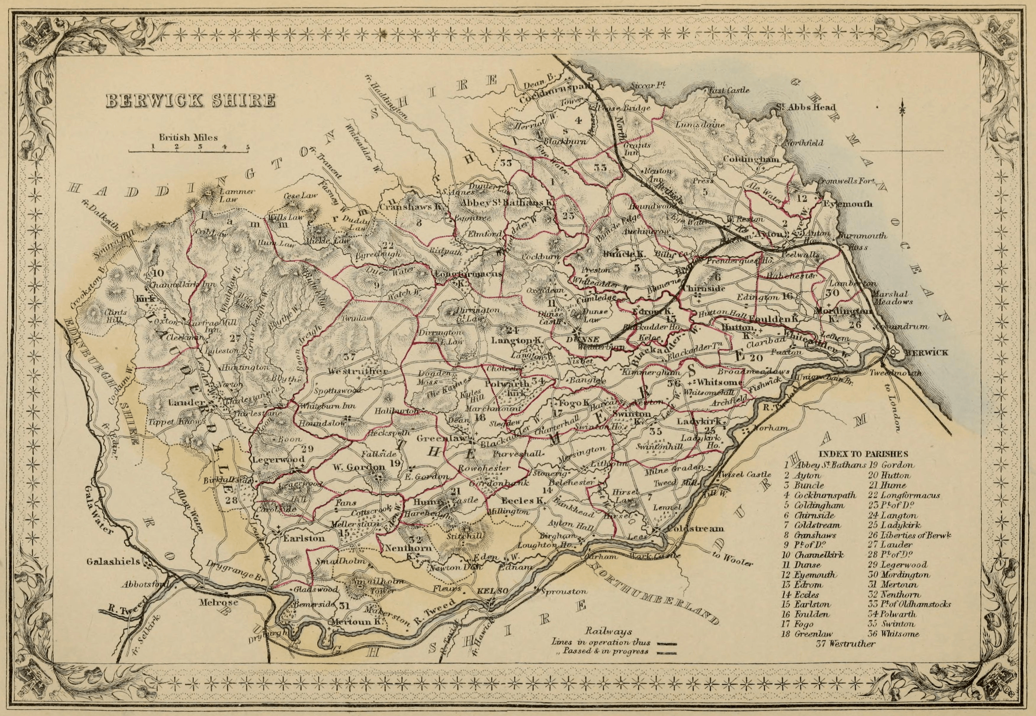
Description: Map of the Scottish county of Berwickshire, showing parochial divisions.
Title: Imperial Gazetteer of Scotland - Berwickshire (1854)
Credit: Wilson, John Marius, ed. (1854). The Imperial Gazetteer of Scotland. 1. London and Edinburgh: A. Fullarton & Co.
Author: Anonymous
Usage Terms: Public domain
License: Public domain
Attribution Required?: No
Image usage
The following page links to this image:

All content from Kiddle encyclopedia articles (including the article images and facts) can be freely used under Attribution-ShareAlike license, unless stated otherwise.
.png)