
Image: Ile-de-France region location map

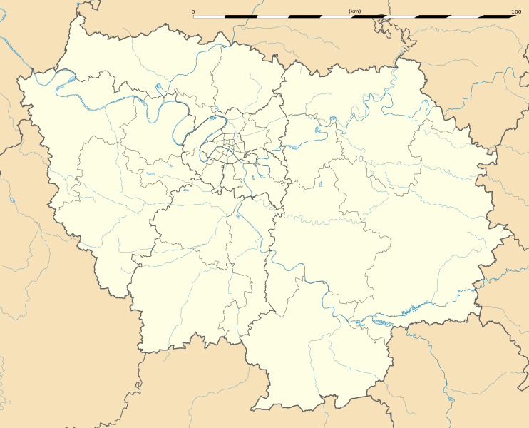
Description: Blank administrative map of the region of Île-de-France, France, as in January 2015, for geo-location purpose, with distinct boundaries for regions, departments and arrondissements.
Title: Ile-de-France region location map
Credit: Own work Source of data: BD Carthage 2013 (open license) created by the IGN and available on Sandre's site; References for the boundaries: INSEE
Author: Eric Gaba (Sting - fr:Sting)
Permission: Attribution and Share-Alike required Any use of this map can be made as long as you credit me (Eric Gaba – Wikimedia Commons user: Sting) as the author and distribute the copies and derivative works under the same license(s) that the one(s) stated below. A message with a reply address would also be greatly appreciated.
Usage Terms: Creative Commons Attribution-Share Alike 3.0
License: CC BY-SA 3.0
License Link: https://creativecommons.org/licenses/by-sa/3.0
Attribution Required?: Yes
Image usage
The following 23 pages link to this image:
- Ableiges
- Clamart
- Créteil
- Dagny
- Gagny
- Issy-les-Moulineaux
- La Garenne-Colombes
- Le Kremlin-Bicêtre
- Les Ulis
- Livry-Gargan
- Malakoff, Hauts-de-Seine
- Mantes-la-Jolie
- Neuilly-sur-Seine
- Pontoise
- Rambouillet
- Saint-Cyr-l'École
- Saint-Germain-en-Laye
- Sartrouville
- Vaujours
- Villejuif
- Villeneuve-la-Garenne
- Viroflay
- Évry-Courcouronnes
