
Image: Ikaasaartik-strait-icefloes-aerial
Size of this preview: 800 × 450 pixels. Other resolutions: 320 × 180 pixels | 3,872 × 2,176 pixels.
Original image (3,872 × 2,176 pixels, file size: 5.02 MB, MIME type: image/jpeg)
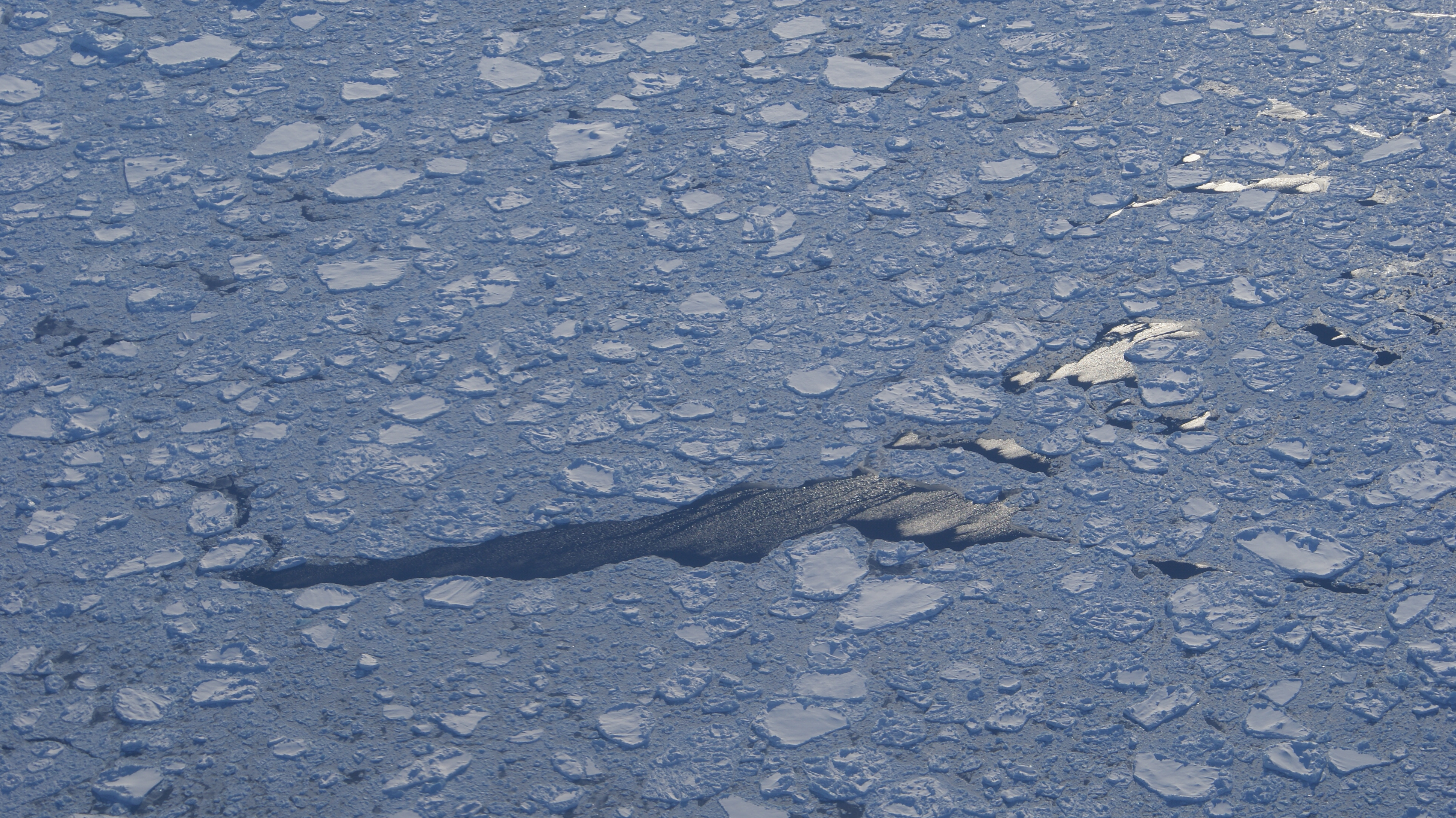
Description: Aerial view of Ikaasaartik Strait, southeastern Greenland. Icefloes and leads in the mouth of the strait, at the confluence with the open North Atlantic (for some value of open, that is). Photographed from the Flugfélag Íslands de Havilland Canada Dash-8 106 during the Kulusuk-Reykjavík flight.
Title: Ikaasaartik-strait-icefloes-aerial
Credit: Own work
Author: Algkalv (talk)
Usage Terms: Creative Commons Attribution-Share Alike 3.0
License: CC BY-SA 3.0
License Link: https://creativecommons.org/licenses/by-sa/3.0
Attribution Required?: Yes
Image usage
The following page links to this image:

All content from Kiddle encyclopedia articles (including the article images and facts) can be freely used under Attribution-ShareAlike license, unless stated otherwise.