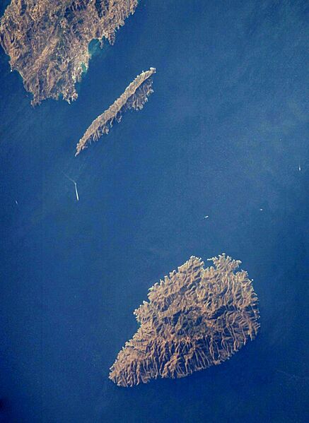
Image: ISS009-E-15405-Kea-Makronisos-N-at-top

Size of this preview: 437 × 599 pixels. Other resolutions: 175 × 240 pixels | 1,153 × 1,581 pixels.
Original image (1,153 × 1,581 pixels, file size: 465 KB, MIME type: image/jpeg)
Description: The strait between the Greek islands of Makronisos (top) and Kea (bottom) with a bit of the mainland at the top L. This rotation of the NASA>Commons "original" was created to make it line up more closely with the map, as the previous version was confusing when compared with conventional mapping.
Usage Terms: Public domain
Image usage
The following page links to this image:

All content from Kiddle encyclopedia articles (including the article images and facts) can be freely used under Attribution-ShareAlike license, unless stated otherwise.
