
Image: I99SkyTop
Size of this preview: 450 × 600 pixels. Other resolutions: 180 × 240 pixels | 1,198 × 1,597 pixels.
Original image (1,198 × 1,597 pixels, file size: 372 KB, MIME type: image/jpeg)
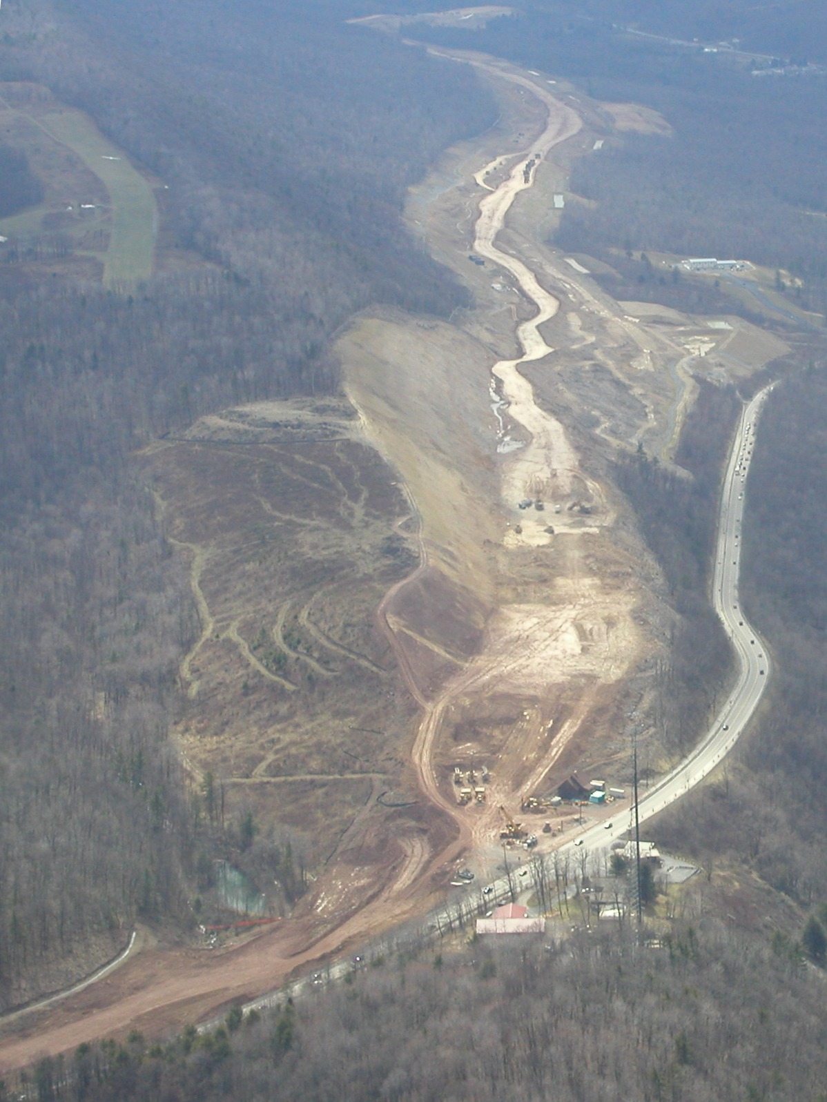
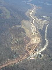
Description: Interstate 99 excavation in 2002, looking south from Julian toward Port Matilda on Bald Eagle Mountain, where acidic rock was exposed. U.S. Route 322 and U.S. Route 220 (Skytop Mountain Road) runs below the I-99 alignment. Eagle Field private airport is at the upper left.
Title: I99SkyTop
Credit: Own work
Author: Dhaluza
Usage Terms: Creative Commons Attribution-Share Alike 3.0
License: CC-BY-SA-3.0
License Link: http://creativecommons.org/licenses/by-sa/3.0/
Attribution Required?: Yes
Image usage
The following page links to this image:

All content from Kiddle encyclopedia articles (including the article images and facts) can be freely used under Attribution-ShareAlike license, unless stated otherwise.