
Image: I66toscale
No higher resolution available.
I66toscale.png (800 × 253 pixels, file size: 16 KB, MIME type: image/png)
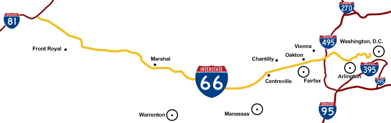
Description: To scale map of Interstate 66 showing DC area interstates and cities along the Interstate 66 corridor.
Title: I66toscale
Credit: Own work
Author: Squiggyfm
Permission: I grant anyone the right to use this work for any purpose, without any conditions, unless such conditions are required by law.
Usage Terms: Public domain
License: Public domain
Attribution Required?: No
Image usage
The following page links to this image:

All content from Kiddle encyclopedia articles (including the article images and facts) can be freely used under Attribution-ShareAlike license, unless stated otherwise.