
Image: HyderAliDominions1780max
Size of this preview: 419 × 600 pixels. Other resolutions: 168 × 240 pixels | 875 × 1,252 pixels.
Original image (875 × 1,252 pixels, file size: 264 KB, MIME type: image/jpeg)
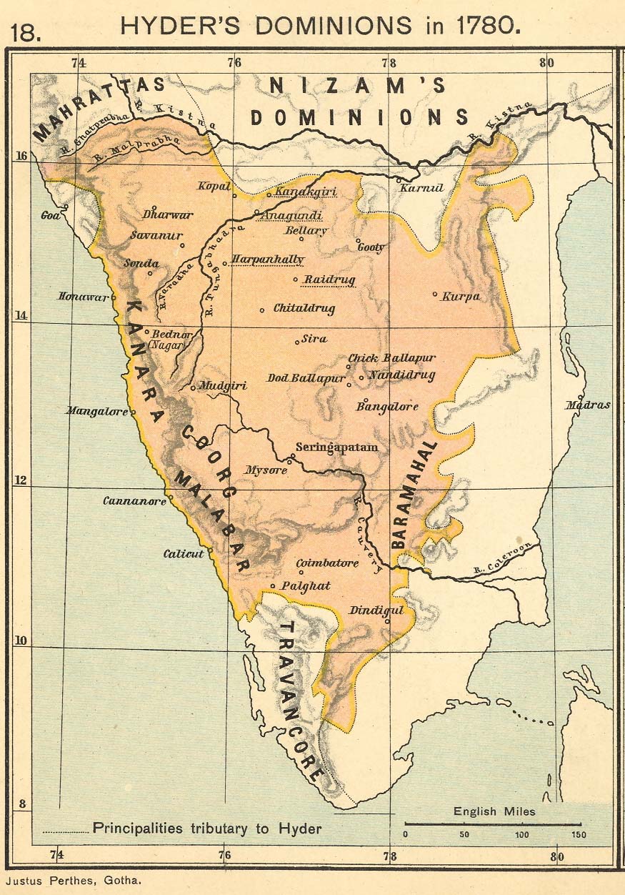
Description: scanned image of 1909 map of Hyder Ali's dominions in 1780, (London: Longmans, Green & Co., 1907)
Title: HyderAliDominions1780max
Credit: http://www.columbia.edu/itc/mealac/pritchett/00maplinks/colonial/joppenlate1700s/hyder1780max.jpg
Author: Charles Joppen
Usage Terms: Public domain
License: Public domain
Attribution Required?: No
Image usage
The following page links to this image:

All content from Kiddle encyclopedia articles (including the article images and facts) can be freely used under Attribution-ShareAlike license, unless stated otherwise.