
Image: Hungary local administration

Size of this preview: 800 × 512 pixels. Other resolutions: 320 × 205 pixels | 1,601 × 1,025 pixels.
Original image (1,601 × 1,025 pixels, file size: 126 KB, MIME type: image/png)
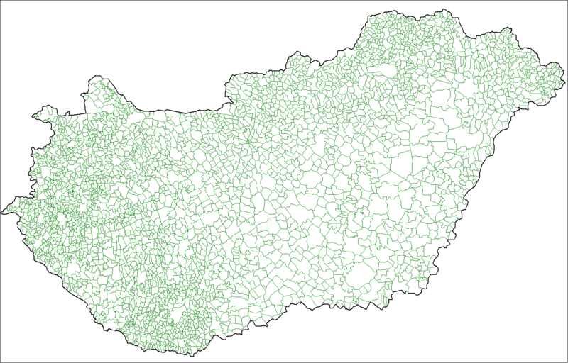
Description: Map of the local administrative units of Hungary (városok, községek, and megyei jogú városok).
Title: Hungary local administration
Credit: Own work, using MapInfo Professional v8.5 and various mapping resources.
Author: Rarelibra (talk · contribs)
Usage Terms: Public domain
License: Public domain
Attribution Required?: No
Image usage
The following 2 pages link to this image:

All content from Kiddle encyclopedia articles (including the article images and facts) can be freely used under Attribution-ShareAlike license, unless stated otherwise.