
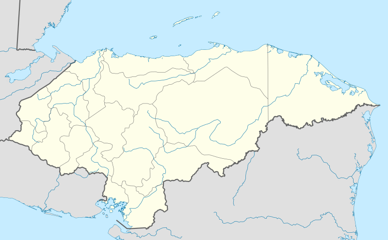
Image: Honduras location map

Size of this PNG preview of this SVG file: 800 × 497 pixels. Other resolution: 320 × 199 pixels.
Original image (SVG file, nominally 923 × 573 pixels, file size: 485 KB)
Description: Location map of Honduras. Geographic limits of the map: * West : 89.50 W * East : 83.00 W * North : 16.70 N * South : 12.80 N
Title: Honduras location map
Credit: OpenStreetMap.org (CreativeCommons license)
Author: Addicted04
Usage Terms: Creative Commons Attribution-Share Alike 3.0
License: CC BY-SA 3.0
License Link: http://creativecommons.org/licenses/by-sa/3.0
Attribution Required?: Yes
Image usage
More than 100 pages link to this image. The following list shows the first 100 page links to this image only. A full list is available.
- Aguanqueterique
- Ahuas
- Ajuterique
- Alauca
- Alianza, Valle
- Alubarén
- Amapala
- Apacilagua
- Arada, Honduras
- Aramecina
- Arenal, Yoro
- Arizona, Atlántida
- Atima
- Azacualpa
- Balfate
- Belén, Honduras
- Belén Gualcho
- Bonito Oriental
- Brus Laguna
- Cabañas, Copán
- Cabañas, La Paz
- Camasca
- Campamento, Honduras
- Cane, La Paz
- Capiro Calentura National Park
- Caridad
- Catacamas
- Cedros, Francisco Morazán
- Ceguaca
- Celaque National Park
- Cerro Azul Meámbar National Park
- Cerro Azul de Copán National Park
- Chinacla
- Chinda
- Choloma
- Choluteca, Choluteca
- Cololaca
- Colomoncagua
- Comayagua
- Concepción, Copán
- Concepción, Intibucá
- Concepción, Ocotepeque
- Concepción de María
- Concepción del Norte
- Concepción del Sur
- Concordia, Olancho
- Copán Ruinas
- Corquín
- Coxen Hole
- Coyoles Central
- Cucuyagua
- Curarén
- Cusuco National Park
- Dolores, Copán
- Dolores, Intibucá
- Dolores Merendón
- Dulce Nombre
- Dulce Nombre de Culmí
- Duyure
- El Corpus
- El Negrito
- El Níspero
- El Paraíso, Copán
- El Paraíso, El Paraíso
- El Porvenir, Atlántida
- El Porvenir, Francisco Morazán
- El Progreso
- El Rosario, Comayagua
- El Rosario, Olancho
- El Triunfo, Choluteca
- Erandique
- Esparta
- Esquipulas del Norte
- Esquías
- Florida, Copán
- Fraternidad, Ocotepeque
- Goascorán
- Gracias
- Guaimaca
- Guajiquiro
- Gualaco
- Gualala, Honduras
- Gualcince
- Guanaja
- Guarita
- Guarizama
- Guata
- Guayape
- Guinope
- Humuya
- Ilama, Honduras
- Intibucá, Intibucá
- Iriona
- Jacaleapa
- Jano
- Jeannette Kawas National Park
- Jesús de Otoro
- Jocón
- La Paz, Honduras
- Los Naranjos, Honduras

All content from Kiddle encyclopedia articles (including the article images and facts) can be freely used under Attribution-ShareAlike license, unless stated otherwise.