
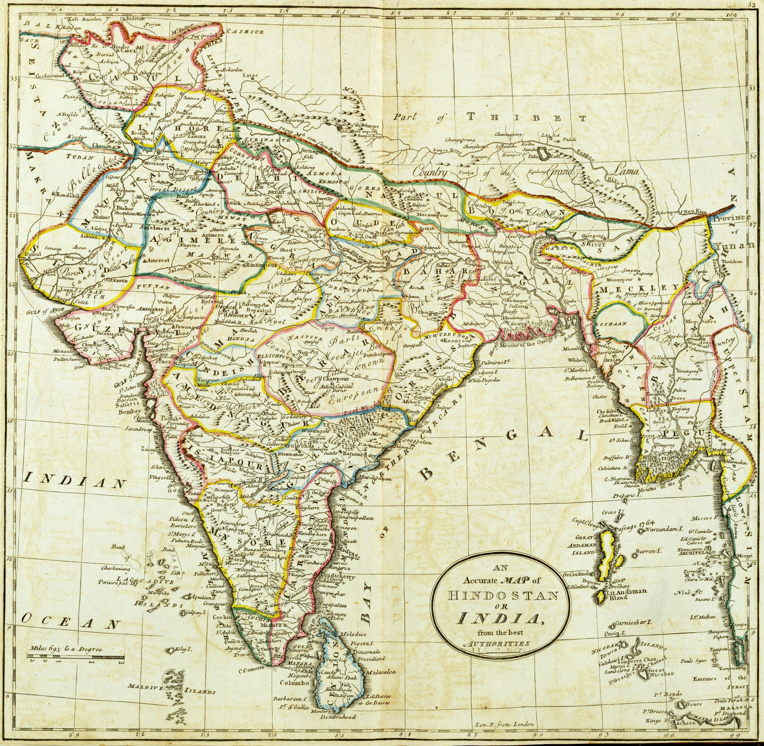
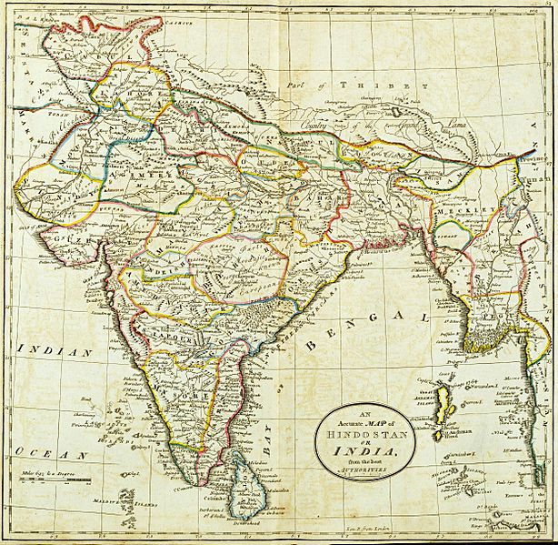
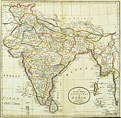
Image: Hindoostan map 1814
Size of this preview: 614 × 599 pixels. Other resolutions: 246 × 240 pixels | 2,489 × 2,430 pixels.
Original image (2,489 × 2,430 pixels, file size: 5.97 MB, MIME type: image/jpeg)
Description: Map of Hindostan or India (1814) by Mathew Carey from the David Rumsey Collection of Historic Maps
Title: Hindoostan map 1814
Credit: Mathew Carey
Author: Mathew Carey
Usage Terms: Public domain
License: Public domain
Attribution Required?: No
Image usage
The following page links to this image:

All content from Kiddle encyclopedia articles (including the article images and facts) can be freely used under Attribution-ShareAlike license, unless stated otherwise.