
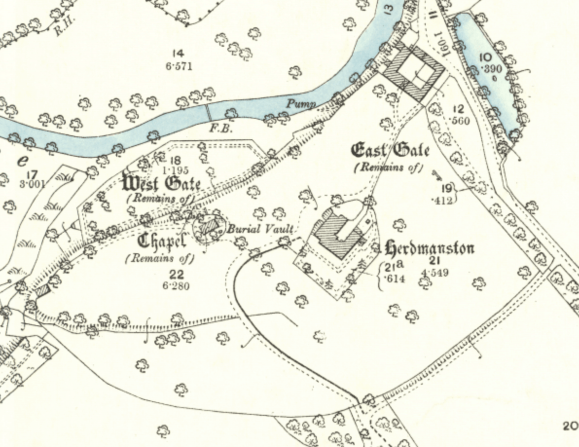
Image: Herdmanston House - 1894 OS map depicition
Size of this preview: 777 × 599 pixels. Other resolutions: 311 × 240 pixels | 1,190 × 918 pixels.
Original image (1,190 × 918 pixels, file size: 584 KB, MIME type: image/png)
Description: Herdmanston House - 1894 OS map depicition
Title: Herdmanston House - 1894 OS map depicition
Credit: National Library of Scotland scanned Ordnance Survey map - Haddingtonshire IX.16, Revised: 1892, Published: 1894 https://maps.nls.uk/geo/explore/print/#zoom=17&lat=55.91880&lon=-2.84675&layers=168&b=1
Author: UK Ordnance Survey
Usage Terms: Public domain
License: Public domain
Attribution Required?: No
Image usage
The following page links to this image:

All content from Kiddle encyclopedia articles (including the article images and facts) can be freely used under Attribution-ShareAlike license, unless stated otherwise.