Image: HawRiverMap1781

Size of this preview: 664 × 599 pixels. Other resolutions: 266 × 240 pixels | 770 × 695 pixels.
Original image (770 × 695 pixels, file size: 219 KB, MIME type: image/jpeg)
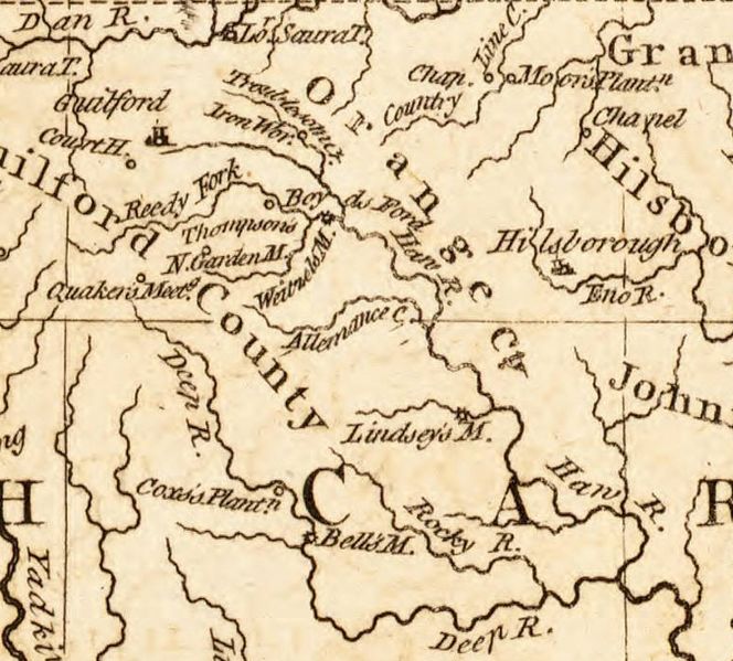
Description: A portion of Kitchin's 1791 map of North Carolina, featuring the locations of military interest from the American Revolutionary War, which depicts the territory between Hillsborough and Guilford Courthouse.
Title: HawRiverMap1781
Credit: Original publication: London Magazine Immediate source: University of North Carolina, North Carolina Collection (http://dc.lib.unc.edu/cdm/singleitem/collection/ncmaps/id/361/rec/11)
Author: Thomas Kitchin (Life time: 1784)
Usage Terms: Public domain in the United States
License: Public domain
Attribution Required?: No
Image usage
The following page links to this image:

All content from Kiddle encyclopedia articles (including the article images and facts) can be freely used under Attribution-ShareAlike license, unless stated otherwise.
