Image: Havengore Island - geograph.org.uk - 916857
Havengore_Island_-_geograph.org.uk_-_916857.jpg (640 × 480 pixels, file size: 61 KB, MIME type: image/jpeg)
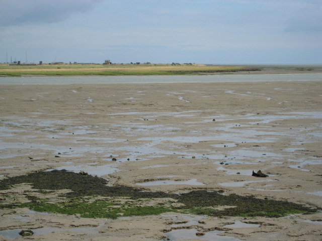
Description: Havengore Island This is the south-east corner of the MoD-owned land of Havengore Island viewed looking across Havengore Creek from the public footpath near Haven Point. The creek is part of the complex of watercourses on the south side of the River Roach that separate Foulness Island and Havengore Island from the mainland. The creek, but not the island, forms part of the Foulness SSSI.
Title: Havengore Island - geograph.org.uk - 916857
Credit: From geograph.org.uk
Author: Nigel Cox
Usage Terms: Creative Commons Attribution-Share Alike 2.0
License: CC BY-SA 2.0
License Link: https://creativecommons.org/licenses/by-sa/2.0
Attribution Required?: Yes
Image usage
The following page links to this image:

All content from Kiddle encyclopedia articles (including the article images and facts) can be freely used under Attribution-ShareAlike license, unless stated otherwise.

