
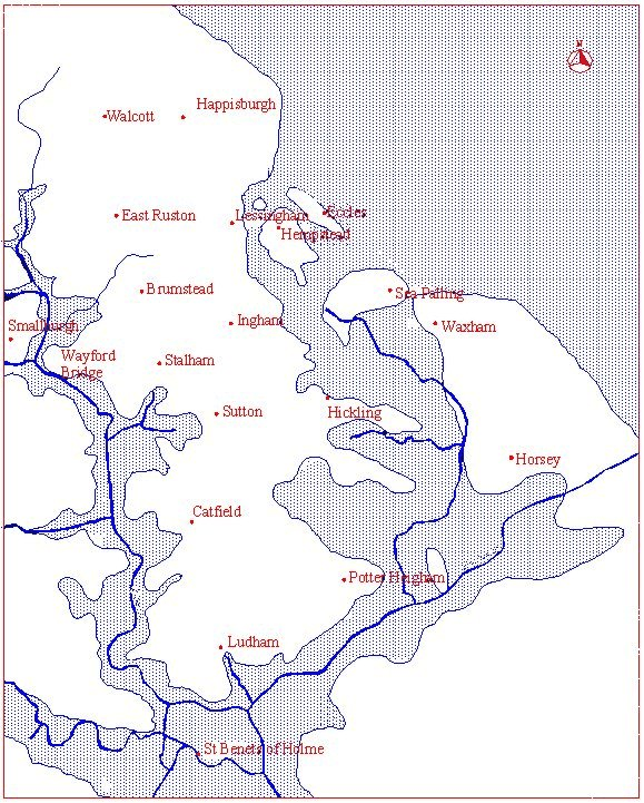
Image: Happing routes in the Roman period
Size of this preview: 481 × 599 pixels. Other resolutions: 193 × 240 pixels | 579 × 721 pixels.
Original image (579 × 721 pixels, file size: 497 KB, MIME type: image/png)
Description: The coastline and water transport routes in the Happing Hundred, Norfolk, UK during the Roman era.
Title: Happing routes in the Roman period
Credit: http://www.wilcox53.freeserve.co.uk/Happing%20routes%20in%20the%20Roman%20period.jpg
Author: Bill Wilcox MA (BillWilcox@Wilcox53.Freeserve.co.uk)
Permission: Commons:OTRS Ticket#2008091010035136
Usage Terms: Creative Commons Attribution-Share Alike 3.0
License: CC BY-SA 3.0
License Link: http://creativecommons.org/licenses/by-sa/3.0
Attribution Required?: Yes
Image usage
The following page links to this image:

All content from Kiddle encyclopedia articles (including the article images and facts) can be freely used under Attribution-ShareAlike license, unless stated otherwise.