
Image: Hampshire and Hampden Canal map, 1831 - Anthony Finley
Size of this preview: 767 × 599 pixels. Other resolutions: 307 × 240 pixels | 3,644 × 2,847 pixels.
Original image (3,644 × 2,847 pixels, file size: 5.98 MB, MIME type: image/jpeg)
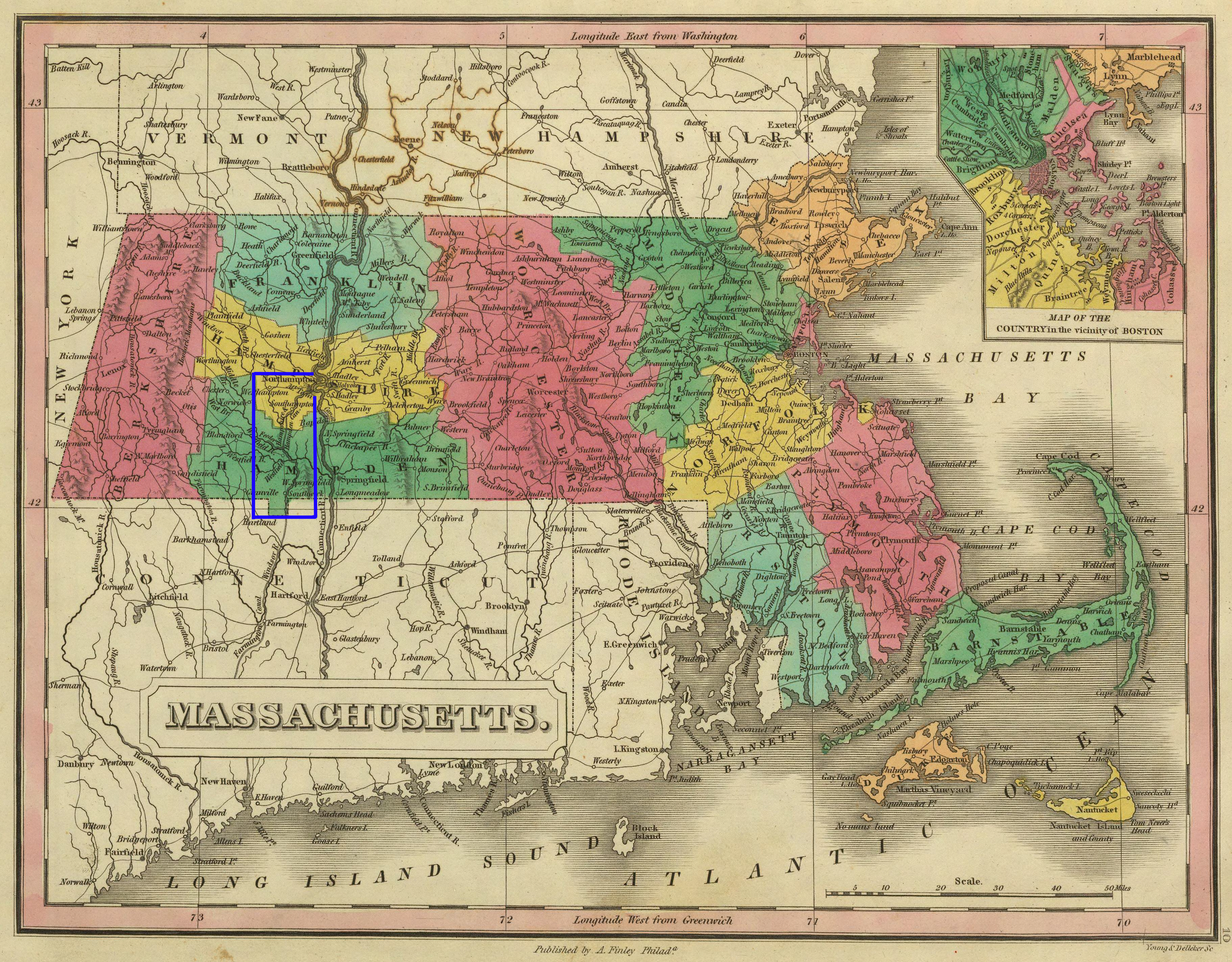
Description: Map of Massachusetts, USA, and portions of neighboring states, with highlighting added for the Hampshire and Hampden Canal.
Title: Hampshire and Hampden Canal map, 1831 - Anthony Finley
Credit: "A New General Atlas", publisher Anthony Finley, Philadelphia, 1831. This map is on page 10. I added the highlighting.
Author: Author / mapmaker unknown.
Permission: Public domain - author died more than 70 years ago.
Usage Terms: Public domain
License: Public domain
Attribution Required?: No
Image usage
The following page links to this image:

All content from Kiddle encyclopedia articles (including the article images and facts) can be freely used under Attribution-ShareAlike license, unless stated otherwise.