Image: HAER-30thStreetStation-17

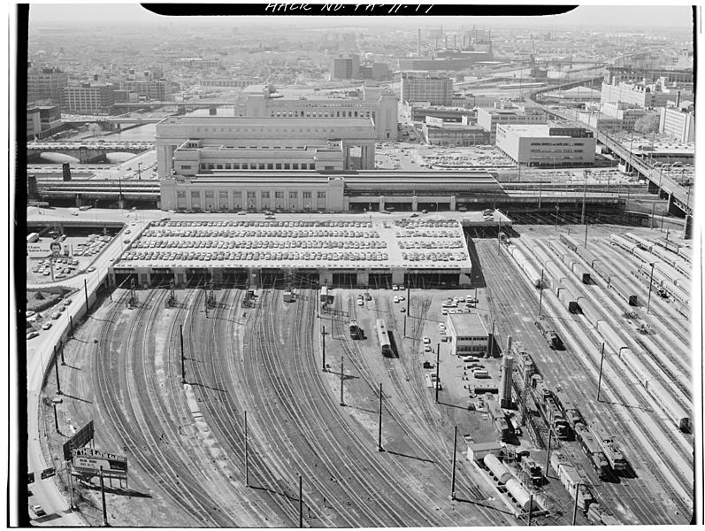
Description: View of 30th Street Station, Philadelphia, looking from the north. The two track levels are perpendicular to each other; the road level is between them. The northern part of the lower platform level is covered by that parking deck. Since the photo has been taken in the late 1970s, the site's recent developments are not to be seen here. Most notable the Cira Centre, which has been erected in 2004–05 on the site of the right (and smaller) lot of the parking deck.
Title: Pennsylvania Railroad- 30th Street Station. Philadelphia, Philadelphia Co., PA. Sec. 1101, MP 88.10. - Northeast Railroad Corridor, Amtrak route between Delaware-Pennsylvania and Pennsylvania-New Jersey state lines, Philadelphia, Philadelphia County, PA
Credit: https://www.loc.gov/pictures/item/pa1447.photos.140430p
Author: Jack Boucher
Permission: Public domainPublic domainfalsefalse This image or media file contains material based on a work of a National Park Service employee, created as part of that person's official duties. As a work of the U.S. federal government, such work is in the public domain in the United States. See the NPS website and NPS copyright policy for more information. Creator: U.S. Department of the Interior, National Park Service, Historic American Engineering Record. Survey number HAER PA-71 Source: U.S. Library of Congress, Prints and Photographs Division, "Built in America" Collection. Copyright: "The original measured drawings and most of the photographs and data pages in HABS/HAER/HALS were created for the U.S. Government and are considered to be in the public domain."
Usage Terms: Public domain
License: Public domain
Attribution Required?: No
Image usage
The following page links to this image:

