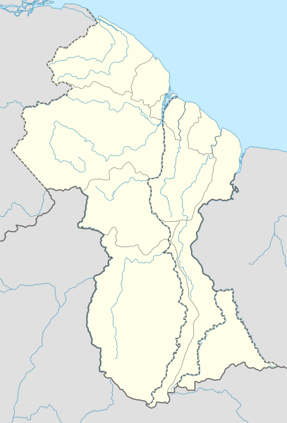
Image: Guyana location map

Size of this PNG preview of this SVG file: 407 × 599 pixels. Other resolution: 163 × 240 pixels.
Original image (SVG file, nominally 1,252 × 1,843 pixels, file size: 342 KB)
Description: Location map of Guyana
Title: Guyana location map
Credit: own work, using United States National Imagery and Mapping Agency data World Data Base II data
Author: NordNordWest
Usage Terms: Creative Commons Attribution-Share Alike 3.0
License: CC BY-SA 3.0
License Link: http://creativecommons.org/licenses/by-sa/3.0
Attribution Required?: Yes
Image usage
The following 34 pages link to this image:
- Adventure, Guyana
- Aishalton
- Anna Regina
- Annai, Guyana
- Annandale, Pomeroon-Supenaam
- Arakaka
- Assakata
- Baramita
- Bartica
- Charity, Guyana
- Dadanawa Ranch
- El Paso, Guyana
- Hosororo
- Imbaimadai
- Kamarang
- Kamwatta Hill
- Kartabo, Guyana
- Koriabo
- Kumaka, Barima-Waini
- Kwebanna
- Lethem, Guyana
- Mabaruma
- Mahdia, Guyana
- Matthews Ridge, Guyana
- Orinduik
- Paramakatoi
- Port Kaituma
- Santa Rosa, Guyana
- Saxacalli
- Suddie
- Tumatumari
- Wakapau
- Whitewater, Guyana
- Template:Location map Guyana

All content from Kiddle encyclopedia articles (including the article images and facts) can be freely used under Attribution-ShareAlike license, unless stated otherwise.
