
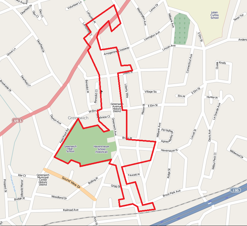
Image: Greenwich Avenue Historic District map
Size of this preview: 654 × 600 pixels. Other resolutions: 262 × 240 pixels | 820 × 752 pixels.
Original image (820 × 752 pixels, file size: 145 KB, MIME type: image/png)
Description: Map of the Greenwich Avenue Historic District — along Greenwich Avenue in Greenwich, Fairfield County, southwestern Connecticut This is an image of a place or building that is listed on the National Register of Historic Places in the United States of America. Its reference number is 89001215 More images Credits Base map from OpenStreetMap. Boundary approximated from National Register of Historic Places nomination form.
Title: Greenwich Avenue Historic District map
Credit: Own work Transferred from en.wikipedia
Author: Polaron at en.wikipedia
Usage Terms: Public domain
License: Public domain
Attribution Required?: No
Image usage
The following page links to this image:

All content from Kiddle encyclopedia articles (including the article images and facts) can be freely used under Attribution-ShareAlike license, unless stated otherwise.