
Image: Grand Portage Contour Map
Size of this preview: 800 × 562 pixels. Other resolutions: 320 × 225 pixels | 1,250 × 878 pixels.
Original image (1,250 × 878 pixels, file size: 280 KB, MIME type: image/jpeg)
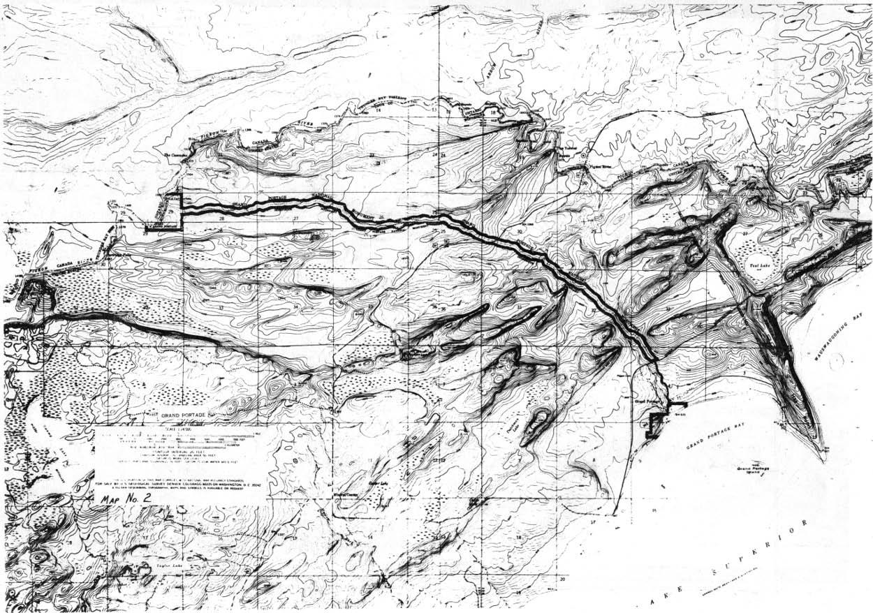
Description: The Grand Portage from Lake Superior to the Pigeon River
Title: Grand Portage Contour Map
Credit: GRAND PORTAGE: A History of The Sites, People, and Fur Trade; U.S. Department of the Interior; National Park Service; Washington, D.C.
Author: Erwin N. Thompson
Permission: Public Domain, U.S. Government Document
Usage Terms: Public domain
License: PD
Attribution Required?: No
Image usage
The following page links to this image:

All content from Kiddle encyclopedia articles (including the article images and facts) can be freely used under Attribution-ShareAlike license, unless stated otherwise.