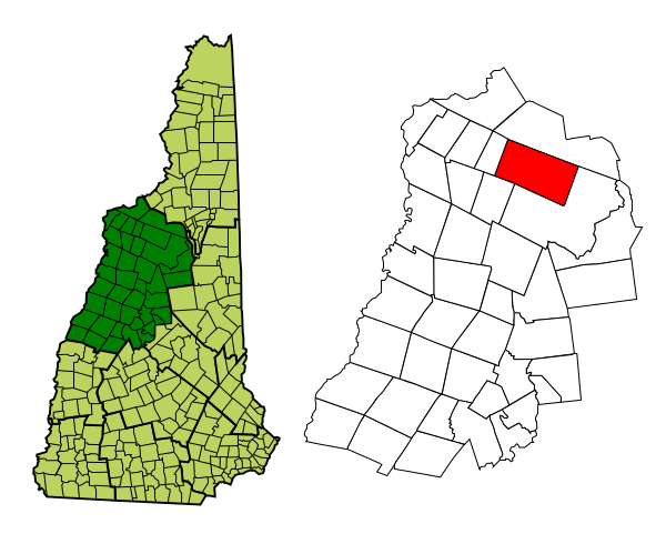
Image: Grafton-Fanconia-NH

Size of this PNG preview of this SVG file: 600 × 481 pixels. Other resolution: 299 × 240 pixels.
Original image (SVG file, nominally 600 × 481 pixels, file size: 110 KB)
Description: Map of a municipality in Grafton County, New Hampshire.
Title: Grafton-Fanconia-NH
Credit: Based on Image:Grafton-Franconia-NH.png, which was created from Boundary/Border Outline Files of the Libre Map Project which held a BY-SA creative commons license. Data origionally from 2000 US Census boundary data. Created using w:inkscape.
Author: User:Prezboy1
Permission: Own work, attribution required (Multi-license with GFDL and Creative Commons CC-BY 2.5)
Usage Terms: Creative Commons Attribution 2.5
License: CC BY 2.5
License Link: http://creativecommons.org/licenses/by/2.5
Attribution Required?: Yes
Image usage
The following image is a duplicate of this image (more details):
There are no pages that link to this image.

All content from Kiddle encyclopedia articles (including the article images and facts) can be freely used under Attribution-ShareAlike license, unless stated otherwise.
