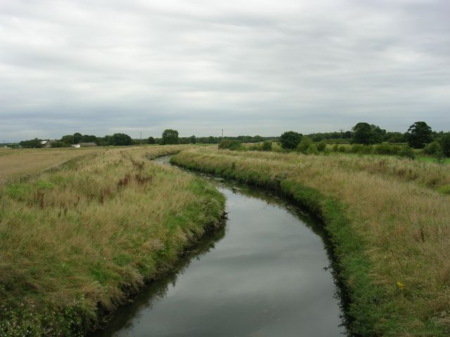
Image: Glaze Brook - geograph.org.uk - 52092
Glaze_Brook_-_geograph.org.uk_-_52092.jpg (640 × 480 pixels, file size: 74 KB, MIME type: image/jpeg)
Description: Glaze Brook. Glaze Brook (also known as the River Glaze) looking downstream from Pennington Bridge, which carries the East Lancashire Road (A580) over the brook. The brook is now making its way across the western edge of Chat Moss. Prior to this point the brook is known as Pennington Brook. The source of the brook being Pennington Flash, a lake formed by mining subsidence near Leigh. SJ67159837 looking S.
Title: Glaze Brook - geograph.org.uk - 52092
Credit: From geograph.org.uk
Author: Keith Williamson
Usage Terms: Creative Commons Attribution-Share Alike 2.0
License: CC BY-SA 2.0
License Link: https://creativecommons.org/licenses/by-sa/2.0
Attribution Required?: Yes
Image usage
The following page links to this image:

All content from Kiddle encyclopedia articles (including the article images and facts) can be freely used under Attribution-ShareAlike license, unless stated otherwise.

