
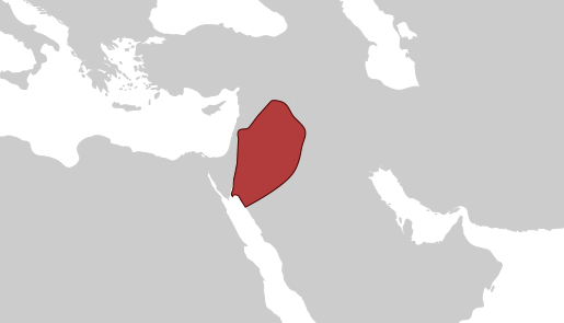
Image: Ghassanid Kingdom Map

Size of this PNG preview of this SVG file: 515 × 295 pixels. Other resolution: 320 × 183 pixels.
Original image (SVG file, nominally 515 × 295 pixels, file size: 156 KB)
Description: Map of the Ghassanid Kingdom under Al-Mundhir III ibn al-Harith
Title: Ghassanid Kingdom Map
Credit: Own work, based on Byzantium and the Arabs in the Sixth Century By Irfan Shahîd and Rome in the East: The Transformation of an Empire By Warwick Ball
Author: MWahaiibii
Usage Terms: Creative Commons Attribution-Share Alike 4.0
License: CC BY-SA 4.0
License Link: https://creativecommons.org/licenses/by-sa/4.0
Attribution Required?: Yes
Image usage
The following page links to this image:

All content from Kiddle encyclopedia articles (including the article images and facts) can be freely used under Attribution-ShareAlike license, unless stated otherwise.